

House Construction Land Surveys: Why They Are Essential for Your New Home
Building a house is an exciting journey. You have dreams, plans, and a vision for your perfect home. But before you break ground, there’s a crucial step you can’t skip: a land survey. This step ensures your project starts on solid ground—literally. Without a proper survey, you risk costly mistakes, legal troubles, and delays. Let me walk you through why house construction land surveys are so important and how they protect your investment.
Understanding House Construction Land Surveys
When you decide to build a house, you need to know exactly what you’re working with. A house construction land survey is a detailed examination of your property’s boundaries, topography, and features. It’s like getting a map that shows every inch of your land, including any obstacles or restrictions.
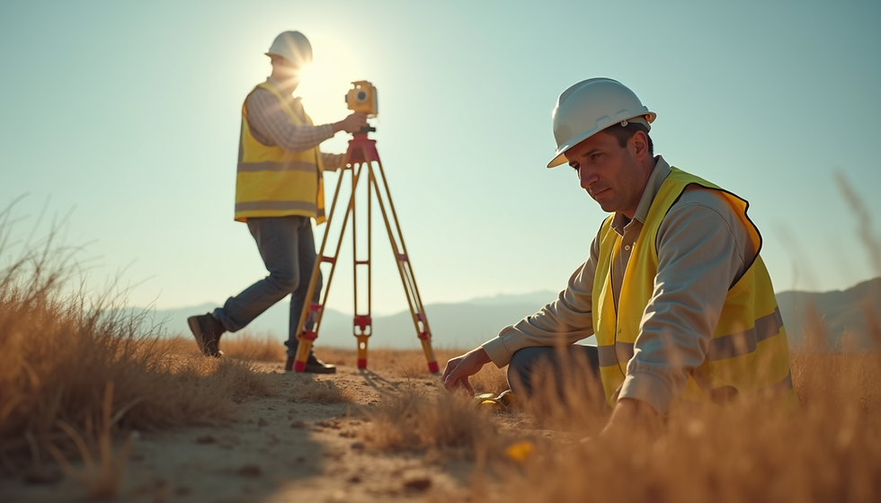
Surveyors use advanced tools and technology to measure your property precisely. They mark boundaries, identify easements, stake setbacks, and note any existing structures or natural features. This information helps you and your builder understand where you can safely build and what challenges you might face.
Why You Need a Survey Before Building
Avoid boundary disputes: Knowing your exact property lines prevents conflicts with neighbors.
Comply with local regulations: Many cities require surveys and site plans before issuing building permits.
Plan your construction: Surveys reveal slopes, drainage, and soil conditions that affect your design.
Protect your investment: Prevent costly mistakes like building on the wrong lot or encroaching on protected areas.

How House Construction Land Surveys Save You Time and Money
Skipping a land survey might seem like a way to save money upfront, but it often leads to bigger expenses later. Imagine starting construction only to find out your house is partially on your neighbor’s land. Fixing that mistake can mean tearing down walls, moving foundations, or even legal battles.
A thorough survey helps you avoid these headaches by giving you a clear picture from the start. It also speeds up the permitting process because you have all the necessary documentation ready. Builders appreciate this clarity, which can lead to smoother project timelines.
What Does a Typical Site Plan Survey Include?
Boundary lines: Exact property edges marked with stakes or flags.
Topographic details: Elevations, slopes, and natural features like trees or streams.
Easements and rights-of-way: Areas where utilities or neighbors have access.
Existing structures: Any buildings, fences, or driveways already on the land.
Flood zones or environmental restrictions: Important for safety and compliance.
By understanding these elements, you can design your home to fit perfectly on your lot, avoiding surprises during construction.
What Are Red Flags on a Survey?
When reviewing your land survey, watch out for certain red flags that could complicate your build or ownership:
Boundary discrepancies: Conflicting property lines compared to previous records.
Encroachments: Neighbor’s fences, buildings, or driveways crossing into your land.
Unmarked easements: Hidden utility lines or access rights that limit your use.
Floodplain or wetland areas: Zones that restrict building or require special permits.
Steep slopes or unstable soil: Conditions that increase construction costs or risks.
If any of these issues appear, it’s important to address them early. You might need to negotiate with neighbors, adjust your building plans, or consult with local authorities.

How to Choose the Right Surveyor for Your Project
Not all surveys are created equal. Choosing a skilled, reliable surveyor is key to getting accurate results. Here’s what to look for:
Local expertise: A surveyor familiar with Helena and Lewis and Clark county regulations and terrain will provide better insights.
Technology use: Modern tools like GPS and drones improve precision and efficiency.
Clear communication: Your surveyor should explain findings in simple terms and answer your questions.
Reputation: Look for positive reviews and recommendations from other homeowners or professionals.
Comprehensive reports and exhibits: Detailed documentation that you can share with builders and officials.
Taking the time to find the right professional ensures your land survey supports your project goals perfectly.
Next Steps After Your Land Survey
Once you have your land survey, use it to guide every step of your house construction:
Share with your architect and builder: They’ll design and plan based on accurate site data. Triple R Surveying will share our information upon request with no additional fees.
Submit for permits: Include the survey with your building applications to meet local requirements. Triple R Surveying has worked with thousands of clients and can walk with you through the process.
Plan landscaping and utilities: Knowing your land’s features helps with drainage, planting, and utility placement.
Monitor construction progress: Refer back to the survey to ensure work stays within boundaries.
Remember, a land survey for building a house is not just a formality. It’s your foundation for a successful, stress-free build.
Building Your Dream Home Starts with a Solid Survey
Taking the time to get a professional house construction land survey is one of the smartest moves you can make. It protects your investment, keeps your project on track, and gives you peace of mind. When you know exactly where and how to build, you’re already halfway to turning your dream home into reality.
Don’t let uncertainty or guesswork slow you down. Start with a precise survey and build your future on a firm foundation.


Comments